Why is San Miguel de Allende a Key Location on Maps?
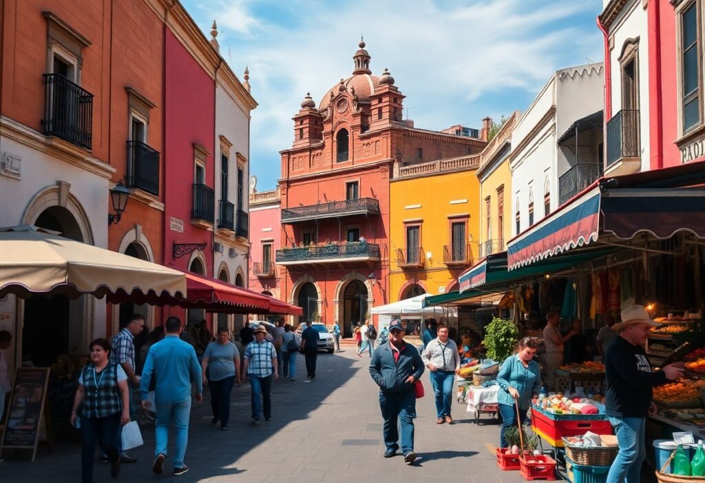
What Makes San Miguel de Allende Unique?
I believe San Miguel de Allende is a premier travel destination because its rich cultural heritage and stunning architecture attract thousands of visitors annually. Its historic center is a UNESCO World Heritage site, showcasing colonial charm and artistic vibrancy. The town’s coordinates, approximately 20.9153° N and 100.7432° W, pinpoint its location in central Mexico, making it easily identifiable on any map.
At FallingInLoveWithSanMiguel, we specialize in providing a comprehensive San Miguel de Allende Travel Guide, helping travelers experience the beauty and culture of this enchanting town. Our goal is to help tourists maximize their experience through curated information and insider tips.
We monetize our services through travel planning resources, guided tours, and partnerships with local businesses, enhancing the travel experience while supporting the local economy. Our guide covers essential aspects of visiting San Miguel de Allende, including:
- Top attractions and landmarks
- Cultural events and festivals
- Local cuisine and dining options
- Accommodations and lodging recommendations
- Transportation tips and navigation advice
How Do Coordinates Define Locations on Maps?
What Are Coordinates and Why Are They Important?
Coordinates, consisting of latitude and longitude, are the foundation of map reading. They provide a precise way to locate any point on Earth. For example, the coordinates for San Miguel de Allende ensure travelers can navigate directly to this beautiful destination.
Understanding how to interpret these coordinates is crucial for effective navigation. Users can pinpoint their exact location and find nearby attractions with ease. Here’s a summary of key components involved in map interpretation:
- Latitude lines indicate north-south position.
- Longitude lines indicate east-west position.
- Intersection of latitude and longitude provides precise location.
- Maps often include a scale to relate map distances to real distances.
How Do Symbols Enhance Map Usability?
Symbols are essential for conveying information on maps. They provide a visual shorthand that simplifies complex data. For instance, a star may represent a significant city, while lines often indicate rivers or roads. Understanding these symbols is vital for effective navigation.
Maps also feature legends that explain the meaning of various symbols. Familiarizing oneself with these legends enhances overall map literacy, making it easier to interpret geographical data quickly. Here’s a quick overview of map symbols:
- Stars for cities
- Lines for roads
- Shaded areas for parks
- Blue areas for water bodies
- Icons for attractions
What Techniques Improve Map Navigation?
What Are Key Techniques for Effective Navigation?
Effective map navigation relies on several techniques, starting with understanding the scale. This helps users relate distances on the map to real-world distances. Pinpointing your current location before searching for others can reduce confusion.
Another essential technique is orienting the map to align with the real world. This ensures that the map accurately reflects the direction you are facing. By practicing these techniques, travelers can navigate San Miguel de Allende confidently.
Why Are Navigation Tools Essential?
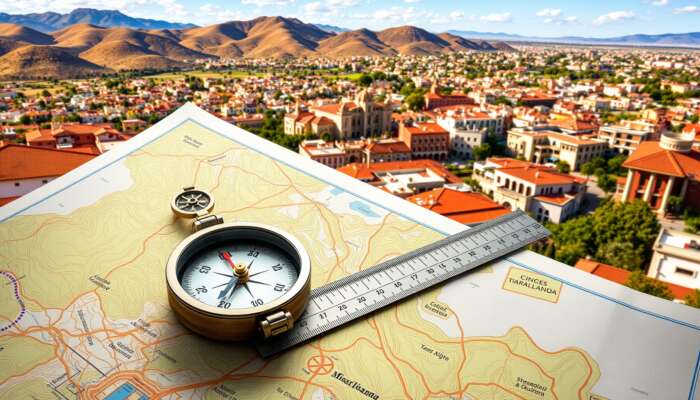
Tools such as compasses and scales are integral to effective map navigation. A compass helps determine direction, while a scale translates map measurements into actual distances. Using these tools ensures confident navigation through urban and rural landscapes.
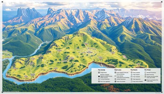
For example, in hiking scenarios around San Miguel de Allende, understanding how to read the scale can help hikers estimate travel time based on distance. Here’s a comparison of tools used in navigation:
| Tool | Function |
|---|---|
| Compass | Determines direction |
| Scale | Translates map measurements to real distances |
| GPS | Provides real-time location tracking |
What Strategies Enhance Accuracy in Map Identification?
Improving accuracy in identifying locations on a map requires practice and strategic techniques. Regularly using maps in various settings, such as urban areas or trails, builds familiarity and confidence. Utilizing landmarks and practicing triangulation can significantly enhance navigational skills.
Triangulation involves determining your location by referencing two known points. This method is particularly effective in San Miguel de Allende, where many landmarks are easily recognizable. Engaging with maps in diverse contexts enhances overall navigation skills.

How Do Legends and Symbols Aid Orientation?
What Is the Role of Map Legends?
Legends are crucial for decoding symbols and colors used on maps. They provide clarity on what each icon represents, such as roads, parks, or water bodies. Familiarity with the legend improves map literacy and enables quicker interpretation of geographical data.
For instance, knowing that a green patch indicates a park can help visitors plan recreational activities without needing to read the entire map. Here’s a quick summary of common map symbols:
- Green for parks
- Blue for water
- Brown for mountainous areas
- Red for major highways
- Black for built-up areas
What Advanced Techniques Are Used to Interpret Spatial Data?
How Can GIS Enhance Spatial Analysis?
Advanced interpretation of spatial data involves analyzing patterns that reveal insights about geographical phenomena. Techniques such as GIS (Geographic Information Systems) allow users to overlay various data sets, enhancing the analytical capabilities of maps.
Recognizing these patterns is crucial for informed decision-making in fields like urban planning and environmental science. Users can identify urban centers and resource allocations effectively using GIS technology.
What Tools Facilitate a Deeper Understanding of Maps?
Integrating various mapping tools can significantly enhance comprehension of spatial data. For instance, combining GPS technology with traditional maps allows users to navigate in real-time while analyzing their surroundings.
By utilizing both digital and physical maps, individuals can develop a comprehensive understanding of their environment. This integration fosters a better grasp of local and global contexts, enabling informed decision-making in travel and exploration.
What Are the Benefits of Developing Map Skills?
How Do Mapping Skills Impact Cognitive Development?
Mastering navigation through maps offers numerous benefits that extend beyond travel. These skills improve spatial awareness, enhance problem-solving abilities, and foster independence. Research shows that:
- Improved memory retention
- Enhanced critical thinking skills
- Increased confidence in navigation
- Greater geographical awareness
What Long-Term Effects Do Mapping Skills Have?
Engaging with maps consistently profoundly impacts cognitive functions. Studies suggest that regular map reading can boost spatial reasoning skills essential for various everyday tasks. This enhancement translates into better problem-solving and decision-making skills that persist throughout life.
How Can Mapping Knowledge Be Applied Practically?
Applying mapping knowledge in daily life can be both practical and enjoyable. Individuals can incorporate map reading into leisure activities, such as hiking, where they can practice navigation skills while exploring new trails.
Additionally, using maps for travel planning fosters a deeper connection to destinations, making trips more meaningful. Engaging in local community mapping projects can also provide hands-on experiences that enrich understanding of geographical concepts.
What Educational Benefits Come from Mapping Skills?
Education systems integrating mapping skills into their curricula see significant improvements in student outcomes. Research indicates that students who learn to read and interpret maps develop better spatial awareness and analytical skills.
These skills are applicable across academic disciplines, enhancing overall learning experiences and promoting lifelong educational benefits.
How Do Mapping Skills Contribute to Health and Wellness?
Regularly engaging with maps can lead to notable health benefits. Physically, navigating unfamiliar areas encourages activity, fostering a healthier lifestyle. Mentally, the challenge of map reading can reduce stress and improve mood, creating a sense of accomplishment.
What Are the Practical Applications of Map Reading?
How Are Maps Used in Everyday Life?
Map reading integrates seamlessly into daily life, providing applications that enhance routine activities. For instance, when traveling, individuals use maps to navigate unfamiliar cities or explore scenic routes.
In local communities, maps facilitate the discovery of new parks, restaurants, and cultural sites, enriching daily experiences and encouraging exploration.
What Skills Are Needed for Future Exploration?
Developing mapping expertise is a continuous journey that prepares individuals for future exploration. Regular map-reading activities sharpen skills applicable in diverse situations, whether for travel, outdoor adventures, or academic pursuits.
This lifelong learning enhances adaptability and confidence in navigating various landscapes.
How Are Maps Integrated Into Problem-Solving?
Maps serve as effective tools for problem-solving, offering a framework through which challenges can be addressed creatively. Analyzing spatial data allows individuals to identify patterns and develop innovative solutions to problems ranging from urban planning to environmental conservation.
What Role Do Maps Play in Navigation and Wayfinding?
Maps enhance navigation and wayfinding in both urban and rural environments, providing essential tools for route planning and real-time adjustments. Users can rely on maps to navigate effectively, ensuring safe travel while exploring new areas.
How Are Maps Utilized in Education and Professional Fields?
Maps are crucial in educational settings, particularly in geography and history. They develop analytical skills and foster problem-solving abilities. In professional fields like urban planning and logistics, maps are indispensable for visualizing data and making informed decisions.
FAQs
What are the coordinates of San Miguel de Allende?
San Miguel de Allende is located at approximately 20.9153° N latitude and 100.7432° W longitude. These coordinates pinpoint the town’s location in central Mexico, aiding in map navigation.
How can I find San Miguel de Allende on a map?
To locate San Miguel de Allende on a map, look for its coordinates (20.9153° N, 100.7432° W) or search for it in digital mapping services such as Google Maps for an interactive experience. For more insights on navigating this beautiful area, check our City Guide. For more information on this beautiful area, check out our detailed location guide. For more details, check out our guide on Where Is San Miguel de Allende? A Guide to Its Location & Map. , and for more ideas, check out our guide on What to Do in San Miguel de Allende. For more insights, check out the San Miguel de Allende FAQ: All Your Top Questions Answered.
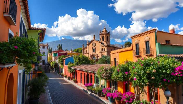
What makes San Miguel de Allende a popular destination?
San Miguel de Allende is renowned for its vibrant arts scene, colonial architecture, and cultural festivals. Its charm and historical significance attract numerous visitors each year, making it a sought-after travel destination.
Can I navigate using traditional maps instead of GPS?
Yes, you can navigate using traditional maps. Learning to read and interpret maps enhances your navigation skills and can be beneficial, especially in areas where GPS signals are weak or unreliable.
What skills do I need to read a map effectively?
Key skills for effective map reading include understanding scales, interpreting symbols, and orienting the map to your surroundings. Practicing these skills regularly will enhance your navigation abilities.
Are there educational resources for improving map reading skills?
Yes, there are numerous educational resources available, including online courses, workshops, and books dedicated to teaching map reading and navigation skills, suitable for all ages.
How can mapping skills benefit my career?
Mapping skills can enhance analytical and problem-solving abilities, making you a valuable asset in fields such as urban planning, logistics, and environmental science, where spatial awareness is crucial.
What are the health benefits of exploring with maps?
Exploring with maps encourages physical activity and outdoor adventures, promoting cardiovascular health and mental well-being by reducing stress and enhancing mood through engagement with nature.
Can maps help in disaster planning?
Absolutely! Maps are essential for disaster planning, allowing agencies to visualize risk areas, create evacuation routes, and allocate resources effectively during emergencies to ensure public safety.
How can I integrate maps into my daily life?
You can integrate maps into your daily life by using them for travel, exploring local areas, or participating in map reading activities, which not only enhances navigation skills but also enriches your daily experiences.
Ellie Thomson is an accomplished author and passionate advocate for the vibrant culture of San Miguel de Allende. Through her engaging writing, she explores a diverse range of topics that reflect the richness of life in this enchanting Mexican city. With a keen eye for detail and a deep appreciation for its history and community, Ellie shares stories that resonate with locals and travelers alike, inviting readers to discover the unique charm of San Miguel de Allende.