
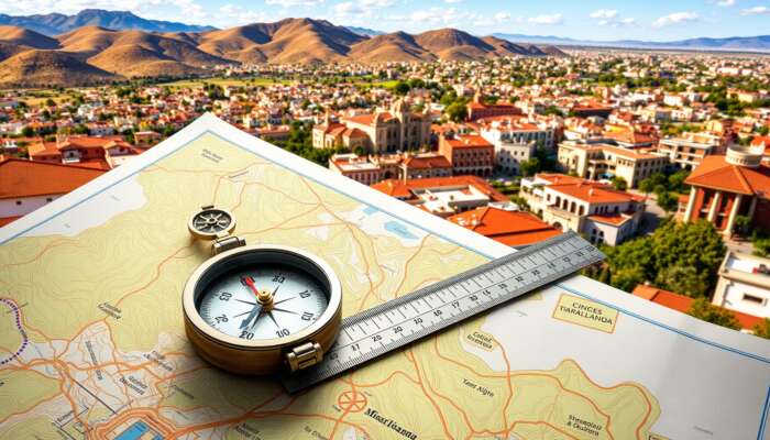
San Miguel de Allende sits at about 20.9153° N, 100.7432° W—use the embedded map and quick directions below to choose the fastest route to Centro or your neighborhood of interest. If you want the printable tourist map and neighborhood labels, our travel map guide has downloadable options.
Quick map facts

How to get here — quick decision table
| Origin | Fastest practical route | Time & notes |
|---|---|---|
| León / Bajío (BJX) | Taxi or shuttle to San Miguel (~1 hour) or rent a car at airport | ~1–1.25 hrs; frequent shuttles; best balance of cost/time |
| Mexico City (MEX) | Fly to BJX, or drive/bus (direct buses from Terminal Norte) | Drive 3–4 hrs; bus 3.5–4.5 hrs; prebook buses in high season |
| Querétaro (QRO) | Car or private transfer (about 1.5–2 hrs) | Good alternate when BJX prices spike |
| Driving from nearby cities | Follow highway signs to San Miguel; use GPS coordinates for Centro | Expect narrow streets in Centro—park outside historic core if driving |
For step-by-step arrival options (shuttles, bus operators and suggested transfers) see our full arrival guide: Getting to San Miguel de Allende — Complete Guide.
Read the map: Centro, landmarks and map symbols
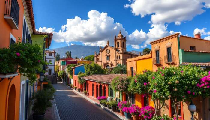
Start by locating El Jardín and the Parroquia de San Miguel Arcángel—these two landmarks anchor most Centro maps. When you find the Parroquia on the map, you can orient yourself quickly: most main streets radiate from or lead toward the Jardín.
Key symbol notes: stars usually mark major plazas or attractions; thicker lines are main roads; shaded areas show parks. If you prefer a labeled street map for walking tours, check our travel map guide that includes neighborhood labels and printable options: San Miguel Travel Map Guide.
Practical tips for on-foot navigation
- Use the Parroquia as your visual compass—many streets slope toward it.
- Carry a small paper map or a screenshot; parts of Centro have spotty data coverage indoors.
- Note elevation: Centro is hilly in places—plan for slower walking times.
When to go and booking windows
| Period | What to expect | Booking window |
|---|---|---|
| High season (Nov–Mar, festivals) | Cooler weather, busy festivals, higher hotel rates | Book hotels 2–4 months early for events |
| Shoulder months (Apr–May, Sep–Oct) | Fewer crowds, pleasant weather | Book 1–2 months ahead |
| Low season (Jun–Aug) | Warmer afternoons and short rains, lower rates | Flexible bookings; deals available 2–4 weeks out |
Neighborhoods, safety and where to park
Centro is the tourist heart—walkable, busy, and well-patrolled; neighborhoods outside Centro (Guadalupe, Atascadero, and higher residential areas) are quieter. For an in-depth safety map and practical safety tips, see our dedicated guide: San Miguel de Allende — Safety Map & Guide.
- Park outside the historic core if your accommodation does not offer parking; many hotels provide drop-off only.
- At night, stick to well-lit streets near El Jardín; Centro is generally safe but remain aware of pickpocketing in crowded spots.
- If moving long-term or house-hunting, our relocation and real-estate pages have neighborhood breakdowns and listings.
Printable maps and offline tools
If you need a printable Centro map, the travel map guide linked above includes labeled PDF options and recommended printed street maps for purchase. For offline navigation, save a screenshot of the map tiles you need or download a small paper map at the tourist information kiosk near El Jardín.
Short FAQ
Is San Miguel de Allende walkable?
Yes—Centro is compact and very walkable, though cobblestones and some steep streets mean sensible footwear is important.
What are the coordinates of San Miguel de Allende?
Approximately 20.9153° N, 100.7432° W—use these in any GPS app or the embedded map above.
When should I book flights and hotels?
For high-season travel and festivals book hotels 2–4 months ahead; for shoulder months 1–2 months; low season often allows more flexibility.
Is it safe to walk around at night?
Centro is generally safe, but take standard precautions—stick to well-lit routes, avoid empty side streets late at night, and keep valuables secure. See our safety guide for more details: Is it safe in San Miguel de Allende? — A Traveler’s Guide.
More neighborhood details, activities and maps are available in our complete travel guide: San Miguel de Allende — Your Complete Travel Guide.
Ellie Thomson is an accomplished author and passionate advocate for the vibrant culture of San Miguel de Allende. Through her engaging writing, she explores a diverse range of topics that reflect the richness of life in this enchanting Mexican city. With a keen eye for detail and a deep appreciation for its history and community, Ellie shares stories that resonate with locals and travelers alike, inviting readers to discover the unique charm of San Miguel de Allende.

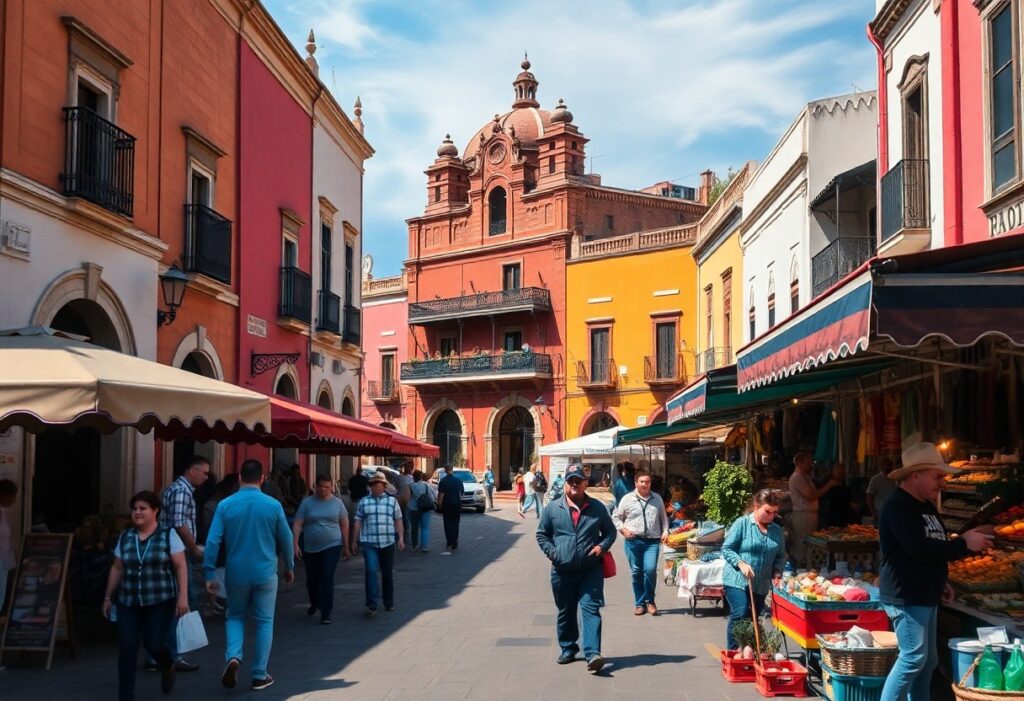
I completely resonate with your thoughts on San Miguel de Allende being a premier travel destination! The blend of history, culture, and stunning architecture truly makes it stand out. I remember my last visit—it was fascinating to stroll through the cobblestone streets and see all the colorful facades. Each corner seemed to whisper stories from the past, especially in the main plaza where the Parroquia de San Miguel Arcángel sits majestically.
I appreciate how you highlighted San Miguel de Allende’s unique charm and historical significance! It’s interesting to think about how its colonial architecture and vibrant arts scene have created such a magnetic pull for travelers. Personally, I was captivated by the local art galleries when I visited. Each one feels like a window into the soul of the community, showcasing not just art but also the stories and passion of the artists.
Your insights into San Miguel de Allende resonate deeply with many love for travel and exploration. The careful consideration you mention regarding the planning phase is essential for maximizing the experience of visiting such a vibrant location. I recall my own visit to San Miguel de Allende, where the combination of its artistic heritage and historical significance created an atmosphere that felt both timeless and alive.
I find your insights into San Miguel de Allende so enlightening, especially regarding its unique cultural heritage and the historical significance that draws so many travelers each year. I’ve had the pleasure of visiting a couple of times, and each experience was infused with a sense of vibrancy and warmth that’s hard to put into words. The cobblestone streets lined with pastel-colored buildings seem to pulse with creativity, largely due to the community of artists who call the town home.